SIFT supports GK2A data
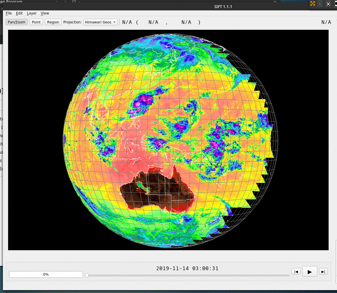
Version 1.1.1 of SIFT (the Satellite Information Familiarization Tool) includes Satpy abilities that include the ability to load GK2A imagery. Thus, SIFT can now be used to view imagery from that (relatively) new geostationary satellite. A download package for the latest version has not yet been created (this will happen by early February 2020), but the package can be installed via conda as noted here. The toggle below shows Band 13 (10.5 µm) and Band 4 (1.37 µm), at full-disk resolution, on 14 November 2019. The projection is Himawari’s Full-disk; GK2A is over the Equator at 128º E Longitude (vs. 140.7 ºE Longitude for Himawari-8) so data does not extend all the way to the eastern edge of this image. GK2A extends farther west into the Indian Ocean.
Comments