The Satellite Information Familiarization Tool, or SIFT, is a meteorological satellite imagery visualization software application with a graphical user interface designed at the University of Wisconsin Space Science and Engineering Center (SSEC) to run on mid-range consumer grade computers and notebooks. Built on Python, SIFT runs on Windows, Mac, and some Linux operating systems. The National Weather Service (NWS) originally funded the development of SIFT for use as a training application for Himawari-8 imagery at the forecast office in Guam, but SIFT has evolved into the primary learning software that accompanies the training exercises on the new-generation geostationary weather satellites.
SIFT is free to download and use as-is, with no expressed warranty or guarantee of support. Technical specifications for SIFT are available. Workstations with a solid-state drive (SSD) will provide the best user experience.
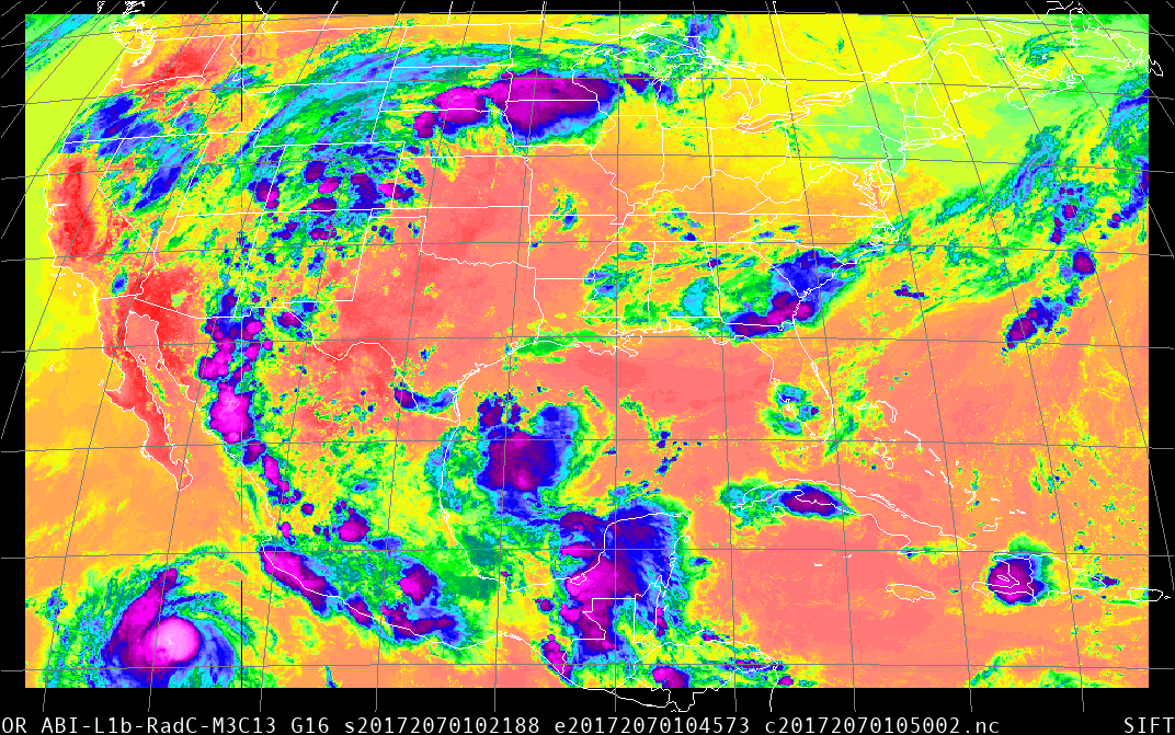
Users can obtain Geostationary Operational Environmental Satellite R-Series (GOES-R) Advanced Baseline Imager (ABI) data readable with SIFT for download from the NOAA Comprehensive Large Array-data Stewardship System (CLASS), or, alternatively, the Google Cloud Platform Marketplace. First-time users may wish to watch a video describing the basic SIFT functionalities.
The latest version of SIFT is 1.2, released in September 2021. Our FTP site hosts SIFT installers for the two primary operating systems. Previous versions of SIFT can also be downloaded there.
- Windows version (841 MB)
- Mac version (566 MB)
- Linux version (707 MB)
For specific installation instructions, see GitHub. Open source code is available to download from GitHub as well.
An experimental utility package, axi-tools, for conversion of Himawari-8 AHI scenes to NetCDF4 files readable by SIFT, is also available for Linux-compatible systems. Work is in progress to allow users to import native HCAST/HSD files into SIFT. Interested new users seeking sample imagery for test purposes can download SIFT-compatible Himawari NetCDF4 files. The files with the ‘gz’ extension are gzip-compressed and must be uncompressed prior to use.
Please cite SIFT if you use it in your work.
Gerth J. J., R. K. Garcia, D. J. Hoese, S. S. Lindstrom, and T. J. Schmit, 2020: SIFTing through satellite imagery with the Satellite Information Familiarization Tool. J. Operational Meteor., 8 (10), 121-132, doi: https://doi.org/10.15191/nwajom.2020.0810.
For mobile users seeking easy access to real-time imagery from GOES-16, the first satellite in the GOES-R series, the University of Wisconsin has several mobile apps available for download. The apps do not afford the same data interrogation capabilities as SIFT, however.
- SSEC – GOES on the iTunes App Store (iOS devices)
- SSEC – RealEarth on the iTunes App Store (iOS devices)
- RealEarth on the Google Play Store (Android devices)
- Geo Browser at SSEC
For more information, please continue with Blog Entries Describing SIFT Functionality.